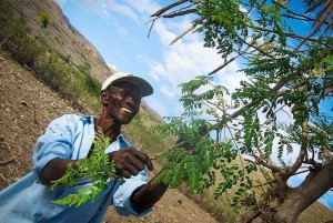
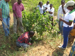
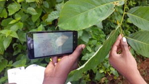
 What if there was a simpler way of locating suitable tree species for an area rather than the usual time consuming process of surveying, testing and trial and error? Better still, what if you could have the results by just a click of a button and at your convenience? Well, this vision has now been actualized by the World Agroforestry Center (through funding from the Department for International Development (DFID) UK and the International Union for Conservation of Nature (IUCN) project on “Filling Knowledge Gaps on the Restoration of Degraded Smallholder Landscape Mosaics”. Through this project, the World Agroforestry Centre (ICRAF) have designed a semi-offline mobile phone application based on the vegetationmap4africa that enables users to identify suitable tree species for conservation, production and agricultural purposes in a given area.
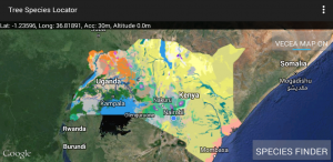
The application, available on Google Play Store for Android phones, is based on Potential Natural Vegetation (PNV) and enables one to locate suitable tree species at the current location, within East Africa countries namely Uganda and Kenya. An accuracy of 1 kilometer is assured in dense forests or vegetation and 500 meters for less dense areas.
 Extension and field staff in government and non government organizations in East Africa will find the application helpful when designing restoration, and agroforestry projects at their sites, and also when working with farmers and farmer groups, to advise on which trees are likely to be suitable in local areas, based on the needs of the individual farmer.
By tapping on the “Species Finder” button for the area mapped, the user can then select the particular use that they are most interested in. For example, wood, human consumption, animal, and environmental, among other uses. In addition, each use has sub categories listing suitable tree species by their taxonomy names for one’s specific need. For instance, under wood uses, various species are listed specific to firewood, charcoal, electricity poles, behives, etc.
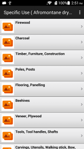 Alternatively, one can tap on any area of the map provided to find out the current vegetation type and species present. The application can be used while offline once installed allowing it to be easily used in the field.
The application designers, are keen to hear feedback from users, including what they would like included to make the tool more effective and useful in the future. There are plans to develop a similar application for other brands of phones, and to include more local names as well as where the selected tree species can be found in local nurseries.
