 No single person could ever hope to count the world’s trees. But a crowd of them just counted the world’s drylands forests—and, in the process, charted forests never before mapped, cumulatively adding up to an area equivalent in size to the Amazon rainforest.
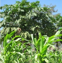
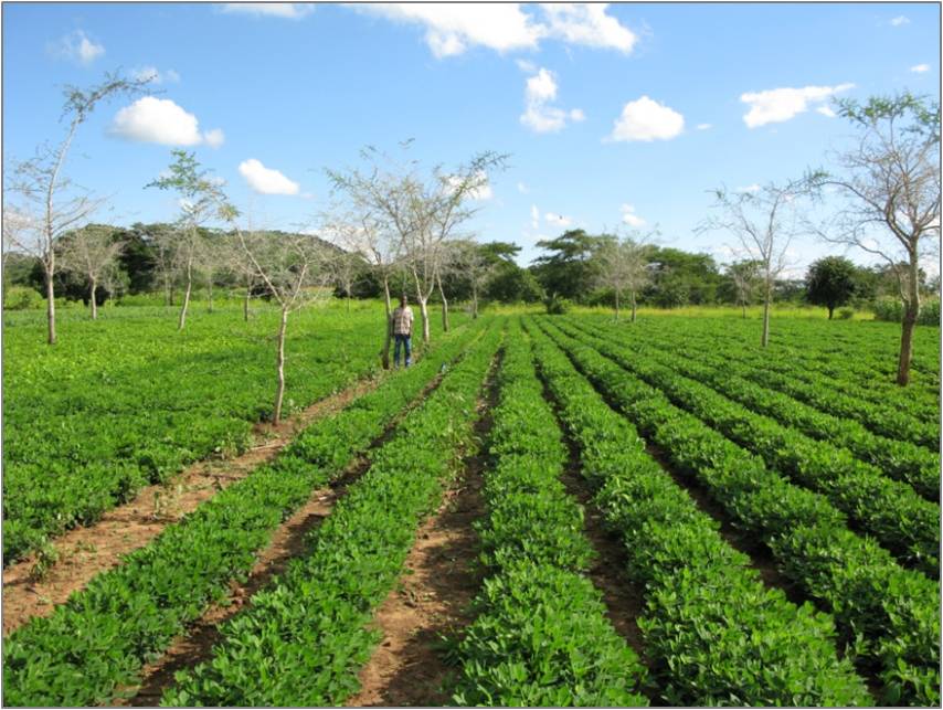
Current technology enables computers to automatically detect forest area through satellite data in order to adequately map most of the world’s forests. But drylands, where trees are fewer and farther apart, stymied these modern methods. To measure the extent of forests in drylands, which make up more than 40% of land surface on Earth, researchers from UN Food and Agriculture Organization (FAO), World Resources Institute and several universities and organizations had to come up with unconventional techniques. Foremost among these was turning to residents, who contributed their expertise through local map-a-thons.